Geospatial hierarchies contain descriptions of geographical locations such as countries, counties, states, cities, zip codes, addresses, or unique ID's that correspond to latitude and longitude coordinates in the data source. Geospatial hierarchies can be used in any kind of visualization, but are particularly useful with added map visuals; they can then be used to display the given data set over geographical locations, according to the specified geospatial type. For instance, you could create a map displaying product sales by zip code. In order to utilize geospatial hierarchies for map visuals, the relevant hierarchies must first be assigned to the appropriate geospatial type from the Properties panel, or categorized as such from the Model app.
- Click here to learn how to configure Geospatial hierarchies in Model
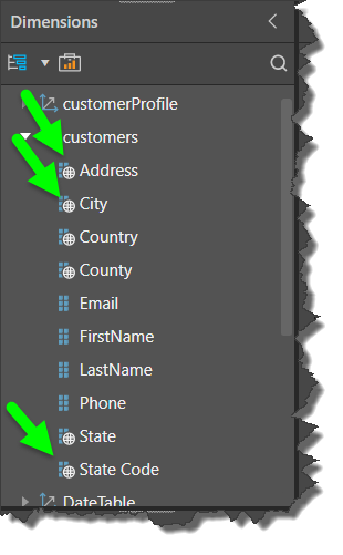
Dimensions
A hierarchy that has been designated as a geospatial type is easily distinguishable by the globe icon displayed next to it in the hierarchy tree:
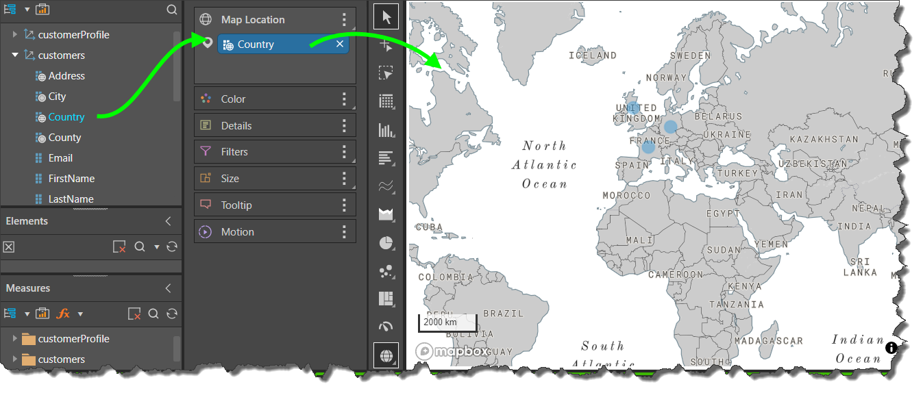
Maps
Adding a geospatial hierarchy to a new query will automatically generate a map, displaying the given geospatial data.